

- Home
- The North Island of NZ
- The South Island of NZ
- NZ Travel Interests
- Accommodation
- Contact Us
Routeburn Track
One of New Zealand’s Nine Great Walks
![]() Blog & Photography © : www.ruthlawtonphotography.com
Blog & Photography © : www.ruthlawtonphotography.com
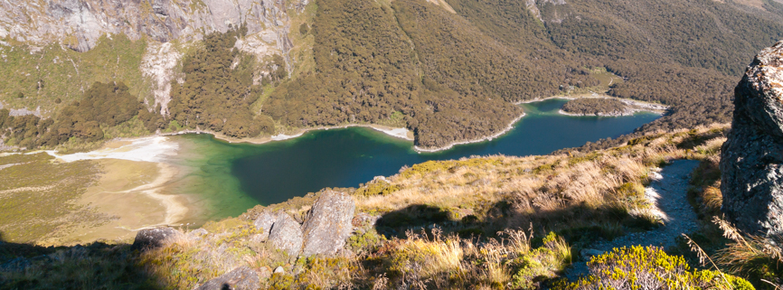
Each year a girlfriend and I plan a ‘No-men holiday’ which usually includes a hike or two and lots of wine tastings in between. A couple of years back we decided to hike both the Milford and the Routeburn Tracks in the South Island, two of New Zealand’s Great Walks.
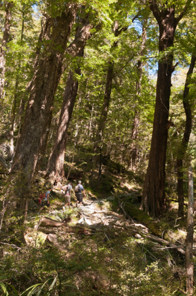
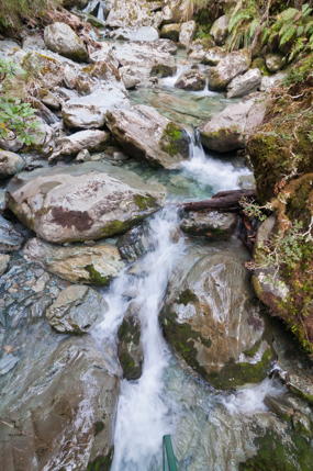
The Routeburn Track is usually undertaken over 3 days/2 nights and can be hiked from either of two directions, one end starting at the Divide Shelter on the Milford Road, 85 km from Te Anau or our choice which was from the Routeburn Shelter, near Glenorchy, 85km from Queenstown. We made the mistake of only having one days rest after the Milford Track so our legs were pretty tired before we even began but the first part of the track was pretty easy going past some pretty streams and through beautiful beech forest.
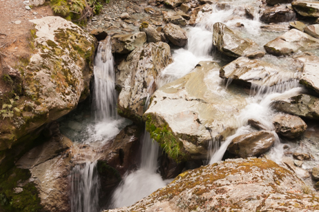
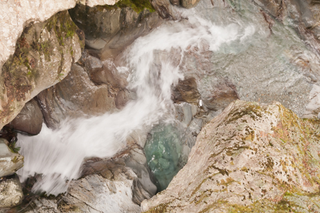
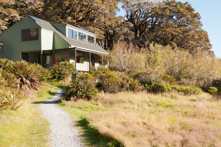
We passed the Routeburn Flats Hut, a 20 bunk hut which offers lovely views across the Routeburn valley floor and the campsite which offers 15 non-powered tent sites approx 1.5 to 2 hours walk from the beginning of the track and then began a steady climb through more stunning beech forest to the Routeburn Falls Hut where we were spending the night. My pal doesn’t like swing bridges and I just can’t resist unnerving her & giving the bridge a bit of a wiggle (ha ha!)
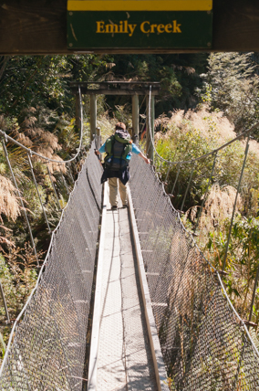
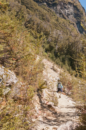
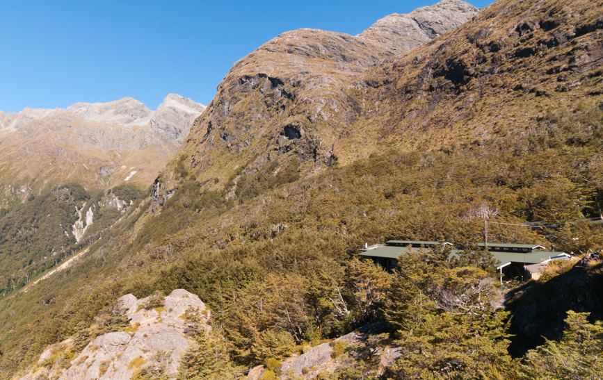
Routeburn Falls Hut & the stupendous views!
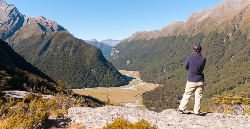
Contrary to the weather forecast when we left the day before it was now predicted to be fine, fine, fine so we were looking forward to whatever the day had in store for us. This is a bigger walking day with just over 11km (4.5 to 6 hours) to Lake Mackenzie Hut plus we were anticipating a hike up the side track to Conical Hill which takes anywhere between 1-2 hours return. The route from the hut climbs steadily up to Lake Harris which you sidle alongside to the high point of the track at Harris Saddle (1255 metres), we loved this part of the track, typifying what one imagines of the great New Zealand outdoors.
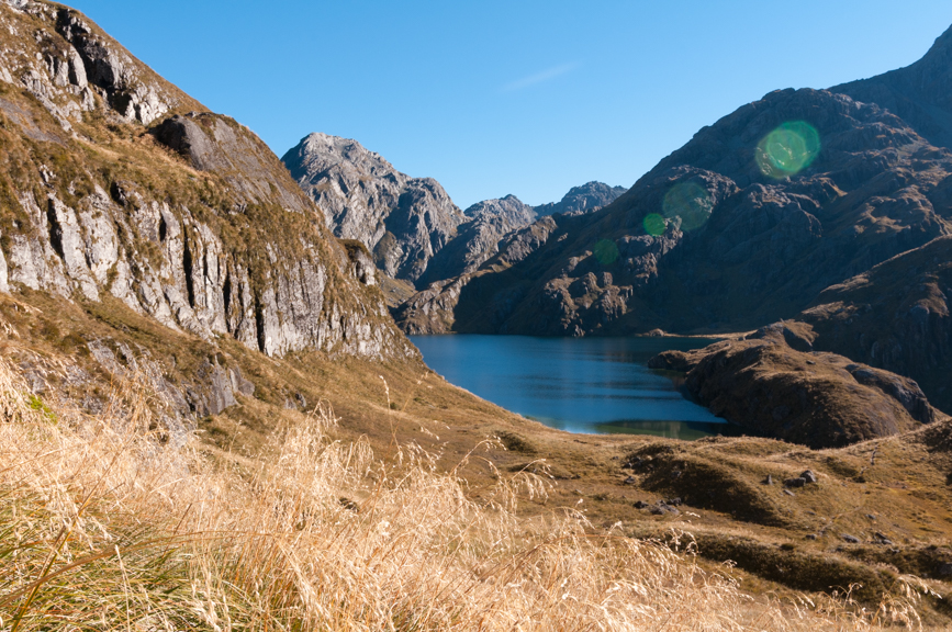
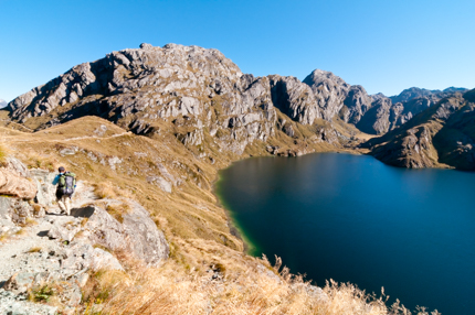
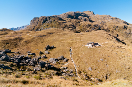
We dropped our packs in the day shelter where conveniently there is a loo too, it’s such a relief to get your pack off your back so even though the track up Conical Hill is really quite steep we felt like we were positively sprinting up it. The views on the way up and from the top are really jaw dropping looking back to Lake Harris and from the top superb views of the Hollyford Valley, snow capped peaks and out to the Tasman Sea.
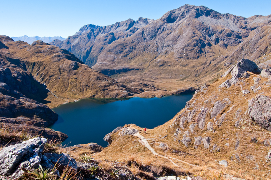
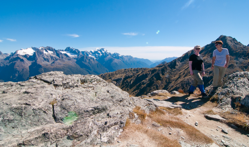
The next part of the track is quite exposed so we were glad we had a lovely sunny March day to tramp this part with regular stops to enjoy the beautiful vistas of the exposed Hollyford Valley
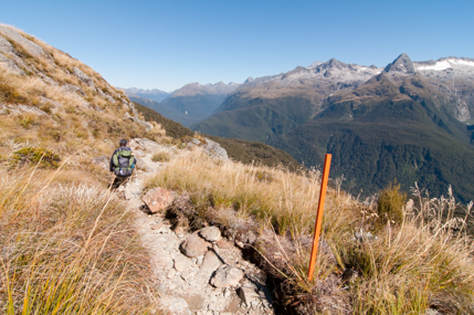
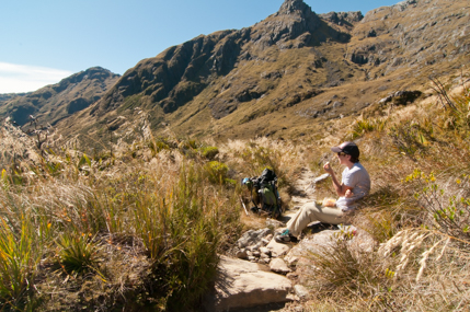
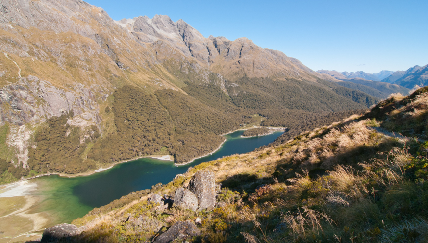
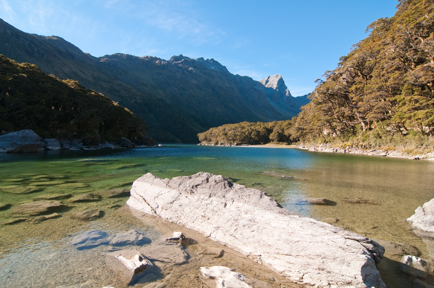
The track traverses and descends towards Lake Mackenzie with a series of zig-zags through the bush to the hut. We admit to being quite weary at this point, suffice to say we are a long way from our formative years. Lake Mackenzie offers a 50 bunk DOC hut in a beautiful sub-alpine lake setting and 9 non-powered tent sites. I can’t honestly say what the camp sites are like, I think if you knocked 30 years off me I might be able to carry the additional weight or alternately I need to swap my tramping buddy for a taller and younger model ( hopefully she never gets to read this!)
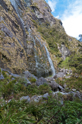
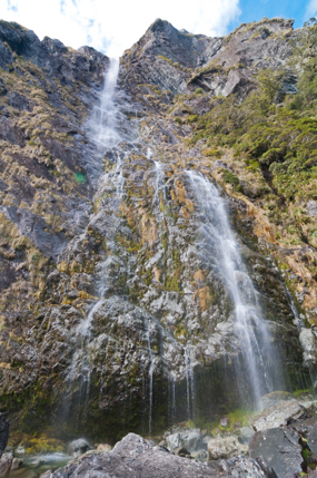
The highlight of this third day is the magnificent Earland Falls at 174 metres, unfortunately my photos don’t do it justice as one of the downsides of walking this track in March is the low rainfall and lack of snow melt which makes for not so impressive falls. The last part of the track meanders through silver beech forest to the Divide where there is a shelter and a car park and this is where your pre arranged transport will pick you up to take you back to Queenstown, Te Anau or Milford.
All in all thoroughly enjoyable walk that I would definitely recommend although I wouldn’t fancy doing the exposed part in the cold and or rain!
![]() Blog & Photography © : www.ruthlawtonphotography.com
Blog & Photography © : www.ruthlawtonphotography.com