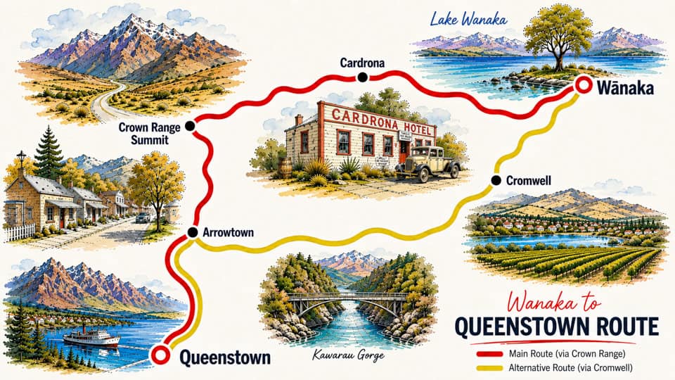
Which route should I take from Wanaka to Queenstown – Crown Range or Cromwell?
Both routes take around an hour in normal conditions but offer very different experiences. The Crown Range Road is New Zealand’s highest sealed public road, climbing to 1,076 metres with steep switchbacks, spectacular alpine views and a stop at historic Cardrona. The Cromwell route follows the Kawarau River through Gibbston wine country, offering a gentler drive with wineries, the Kawarau Bungy Bridge and Old Cromwell Town. Choose the Crown Range in good weather, or Cromwell if you’re towing, driving a larger motorhome or travelling during winter.
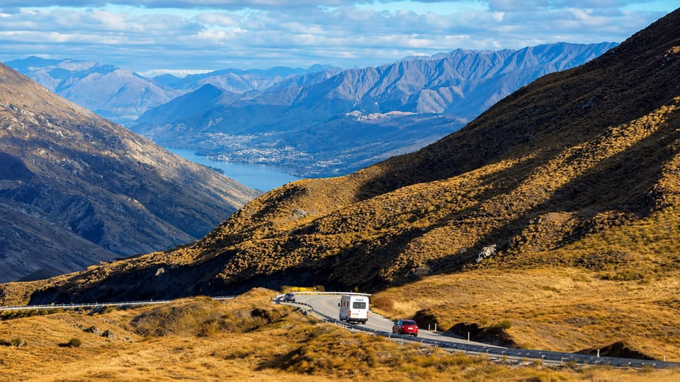
Is the Crown Range Road suitable for motorhomes and campervans?
Yes. The Crown Range Road is fully sealed and suitable for most cars, campervans and motorhomes in good weather. However, it includes steep gradients, tight bends and can be affected by snow and ice during winter. If you’re driving a large motorhome, towing a caravan or prefer an easier drive, the Cromwell route is generally the better option.
What are the highlights of the Crown Range Road?
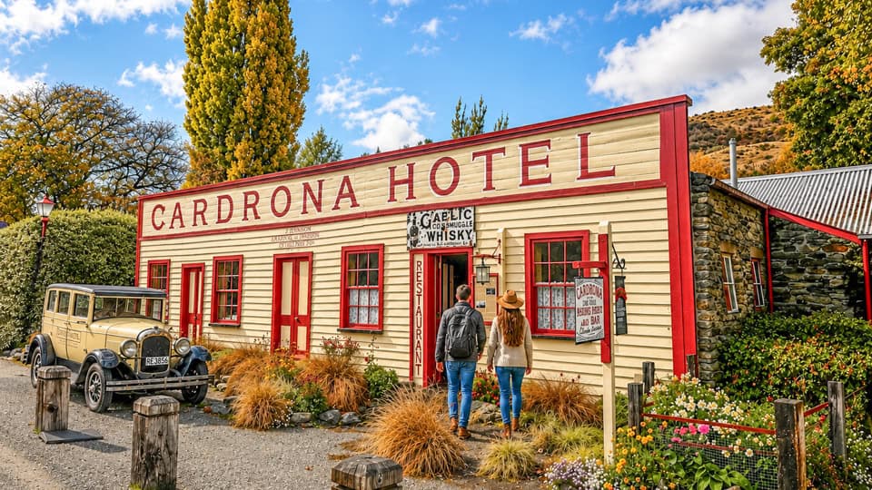
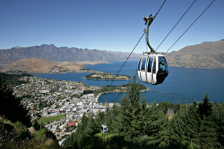
The Crown Range Road is the shorter and more dramatic route between Wānaka and Queenstown. Highlights include the historic Cardrona Hotel, Cardrona Distillery, horse trekking, the Crown Range Summit lookout with panoramic views over the Wakatipu Basin, and nearby Arrowtown before arriving in Queenstown.
What can I see on the Cromwell and Kawarau Gorge route?
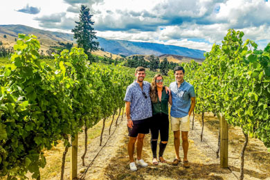
The Cromwell route follows the Kawarau River through Central Otago’s wine country. Along the way you can visit Gibbston Valley Winery, Chard Farm, the Kawarau Bungy Centre, Old Cromwell Town, Bannockburn vineyards, Lake Dunstan and Cromwell’s famous seasonal fruit stalls before continuing to Arrowtown and Queenstown.
Are there worthwhile stops between Wanaka and Queenstown?
Yes. Both routes pass close to Arrowtown, one of New Zealand’s best-preserved gold mining towns. Depending on your chosen route, you can also visit Cardrona, Gibbston wineries, the Kawarau Bungy Bridge, Cromwell, Lake Dunstan and several scenic viewpoints. Even though the drive takes only about an hour without stops, allowing half a day gives you time to enjoy the highlights.
Is the Crown Range Road open all year?
Yes, the Crown Range Road is generally open throughout the year. During winter, snow and ice can result in temporary closures or the requirement to carry and fit snow chains. Always check the latest road conditions before travelling, particularly after heavy snowfall or icy weather. If conditions are poor, the lower-altitude Cromwell route provides a reliable alternative.